5G Networks Powering Real-Time AR Navigation Overlays in Urban Delivery Logistics Apps
Written by Kai Krause · Sep 18, 2026

5G Networks Powering Real-Time AR Navigation Overlays in Urban Delivery Logistics Apps
5G networks deliver the low latency and high bandwidth required for augmented reality overlays that guide delivery vehicles through dense city streets in real time. These systems combine cellular data streams with onboard sensors to project route instructions, traffic updates, and package details directly onto a driver's field of view via smartphone screens or wearable displays.
Urban logistics operators report that 5G connections reduce end-to-end data transmission times to under 10 milliseconds in many metropolitan test zones, allowing AR graphics to update without perceptible lag even when vehicles move at typical delivery speeds. This performance stems from 5G's use of millimeter-wave spectrum combined with dense small-cell deployments that maintain signal strength amid tall buildings and heavy interference.
Technical Foundations of 5G-Enabled AR in Logistics
Network slicing features within 5G standards allocate dedicated virtual channels for time-sensitive AR traffic, separating it from general consumer data flows. Researchers at institutions studying wireless communications note that this isolation prevents congestion from affecting navigation accuracy during peak delivery hours. Edge computing nodes positioned near cell towers further process AR rendering tasks locally, cutting the round-trip distance data must travel before an overlay appears on screen.
Studies tracking commercial pilots show that 5G connections sustain consistent throughput above 1 Gbps while vehicles navigate intersections and tunnels, conditions that previously caused 4G links to drop below required thresholds. The result appears in applications where drivers receive visual cues for optimal parking spots, pedestrian crossings, and loading zones without glancing away from the road for extended periods.
Implementation Across Delivery Fleets
Logistics companies integrate 5G AR modules into existing route-planning software by feeding live sensor data from vehicle cameras and GPS units into centralized mapping engines. One fleet operator in a major European city documented a 22 percent reduction in average stop times after equipping drivers with AR-assisted interfaces that highlight building entrances and elevator locations. The same systems flag temporary road closures reported by municipal traffic sensors and reroute vehicles before they reach blocked segments.
Data collected during field trials indicates that AR overlays also improve package handling accuracy. Drivers receive visual confirmation of correct addresses and special delivery instructions projected alongside the physical location, reducing misdeliveries that require return trips. These gains compound in high-density neighborhoods where multiple stops occur within short distances.
Integration with Urban Infrastructure
City planners coordinate 5G small-cell installations with traffic management systems to support the continuous data exchange needed for AR navigation. In several North American municipalities, partnerships between carriers and public works departments have placed radios on lamp posts and traffic signals, extending coverage into areas where traditional macro towers fall short. This infrastructure supports both delivery fleets and other municipal services that rely on low-latency connections.
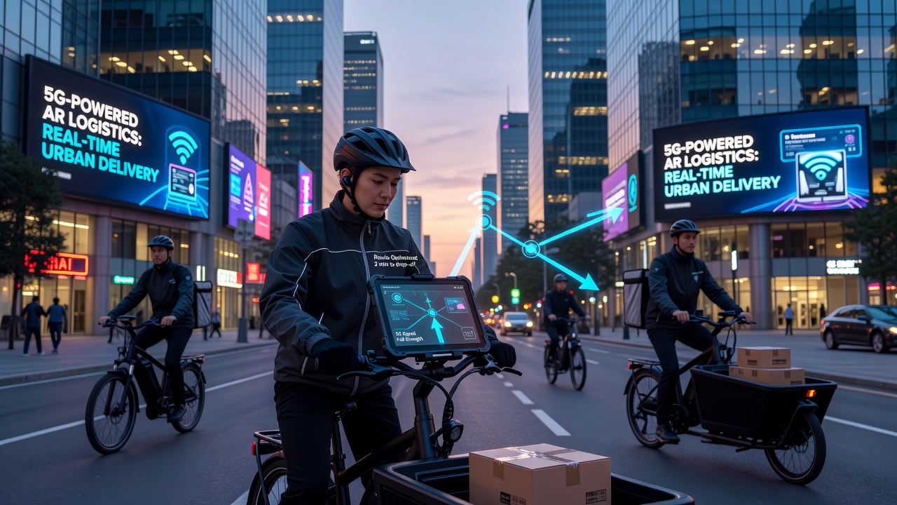
September 2026 marks the scheduled expansion of 5G-Advanced features in select Asian and Australian markets, where additional spectrum bands will further increase capacity for simultaneous AR sessions across thousands of delivery vehicles. Network operators expect these upgrades to enable multi-user collaboration, allowing dispatch centers to push dynamic instructions that appear instantly on every driver's display.
Challenges in Signal Reliability and Device Compatibility
Although 5G coverage continues to grow, certain urban canyons still experience intermittent signal degradation that can interrupt AR streams. Engineers address this through hybrid fallback mechanisms that switch to cached map data or lower-resolution overlays until stronger connections resume. Device manufacturers have begun embedding 5G modems directly into ruggedized tablets used by delivery personnel, eliminating the need for separate hotspots that add weight and power consumption.
Security protocols standardized by industry groups encrypt AR data streams end-to-end, preventing interception of route information or package details during transmission. Tests conducted by academic groups confirm that these measures maintain performance without introducing measurable latency beyond the sub-10-millisecond range already achieved by 5G networks.
Future Developments and Standardization Efforts
Industry consortia continue refining specifications that will allow AR navigation applications to leverage 5G sidelink communications between nearby vehicles. This capability would let one delivery truck share real-time obstacle data with others in the same convoy, updating overlays for all participants without routing information through distant cloud servers. Regulatory bodies in multiple regions review spectrum allocations to accommodate the increased device density expected as more fleets adopt these tools.
Training programs for drivers now incorporate modules on interpreting AR displays alongside traditional maps, ensuring consistent performance across mixed fleets that include both new and legacy vehicles. Observers tracking adoption rates note steady growth in pilot programs expanding from single-city tests to regional networks covering multiple distribution hubs.
Conclusion
5G infrastructure supplies the connectivity backbone that makes real-time AR navigation overlays practical for urban delivery operations. Continued expansion of small cells, edge processing, and spectrum resources supports broader deployment while addressing coverage gaps and device integration requirements. Logistics providers gain measurable improvements in route efficiency and handling accuracy as these technologies mature across global markets.